Keynote Speakers
Experts and specialists in the geospatial field and other related fields from the academia, industry, and NGOs will give insightful keynote speeches on emerging topics in Geoinformatics, Geospatial Technologies and GI Applications, with a keynote speech dedicated to “Geospatial Intelligence for a Sustainable Future”. Information about the keynote speakers and the keynote topics will be updated soon!
Prof. Andy Nelson is a spatial agriculture and food security professor at the Faculty of Geo-Information Science and Earth Observation (ITC) of the University of Twente, the Netherlands, where he holds the position of head of the Natural Resources Department. He also serves as the coordinator for the Erasmus Mundus GEM master's program. His research is centered on Earth observation, spatial information, and state-of-the-art geoinformatics for improved global food security. He obtained a PhD in Geography from the University of Leeds, UK. Besides his outstanding academic experience, he is actively involved in esteemed organizations such as the Group on Earth Observations Global Agricultural Monitoring Initiative (GEOGLAM) and is a fellow of the Royal Geographical Society. He has multi-sectoral experience having worked as a consultant for the Food and Agriculture Organization of the United Nations (FAO) and the United Nations Environment Programme (UNEP). With expertise in Earth observation, spatial agriculture, and food security, Prof. Nelson is an esteemed keynote speaker who brings invaluable insights to the conference.
KEYNOTE:
“The role of Earth observation in improving food systems.”
We all need sufficient, affordable, and nutritious food to achieve food security. Food security depends on well-functioning food systems which in turn depend on many environmental, social, and economic factors that are often interconnected. Ensuring future food security is one of the grand challenges of our time because it requires changes to many parts of society from global to local levels, such as
- Accelerating improvements in food production to provide sufficient, affordable, and nutritious food for all.
- Changing food systems to adapt to a changing climate whilst reducing emissions.
- Reducing the environmental impact of food production and moving to more sustainable consumption patterns.
This keynote starts with the current state of food security and food systems. It outlines how urgent the situation is. The second part shows examples of how Earth observation and other geographic information can help understand the pressures and drivers in food systems thus contributing to a more food secure future.
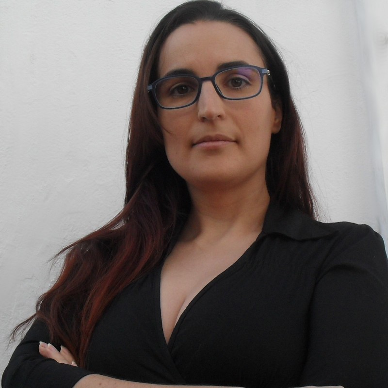
Aida Monfort is a computer engineer specializing in geospatial technologies, has been working as a researcher since 2016 with GEOTEC: Geospatial Technologies Research Group. Her focus has been on developing web and mobile apps for various European and international projects. Aida is an active member of Women in Geospatial+ and contributes to the Women in Copernicus initiative, demonstrating her commitment to promoting and supporting women in the geospatial field.
KEYNOTE:
“Gender equity in the GI/EO sector initiatives: Women in Copernicus and Women+ in Geospatial”
Women+ in Geospatial and Women in Copernicus are two of the many initiatives that want to empower, inspire, and make visible women working in the GIS and EO sectors. These two networks have different resources and activities, such as surveys, mentoring programs, and the speaker's database, which help other women reach higher positions, strong technical jobs, and even speaker roles that are mostly occupied by men. The high answer rate of the surveys, the regular activity in social media and in private groups, and the general interest that these activities entail prove the need for such initiatives.
Maria Arias is a seasoned Senior Software Engineer with a passion for geospatial technology and a strong advocate for Open Source. Since 2004, she has held leadership positions and served as a core maintainer for multiple free and open-source projects. Currently employed at Red Hat, María specializes in Middleware and dedicates her expertise to this domain. Additionally, María's area of expertise extends to location intelligence and big data. Notably, she was elected as the President of OSGeo from 2017 to 2019, further demonstrating her influential role in the geospatial community.
KEYNOTE:
“The Future of the Developer Tooling for Geospatial”
There's a lot of uncertainty on what is going to be the future for developers and developer tooling. Are low code or even no code frameworks going to replace full developers? Is AI going to take our jobs? How do we know which trend is the right one that we should jump in? Are we reinventing the wheel? In this talk, we will try to summarize the current state of the art on developer tooling and make an educated guess on what would be our best bet. Should we be worried or is this the advent of a bright new future?
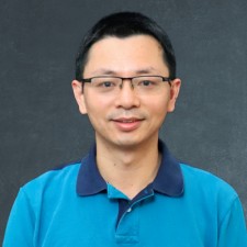
Dr. Qiusheng Wu is an Associate Professor in the Department of Geography & Sustainability at the University of Tennessee, Knoxville. He also holds esteemed positions as an Amazon Visiting Academic and a Google Developer Expert (GDE) for Earth Engine. Dr Wu's research revolves around the realms of geospatial data science, remote sensing, and environmental modeling. He leverages big Earth observation data and cloud computing like Google Earth Engine and Amazon Web Services to investigate environmental change, particularly in relation to surface water and wetland inundation dynamics, and flood. He actively promotes open science and reproducible research and has developed and shared multiple open-source packages for advanced geospatial analysis and data visualization, including geemap, leafmap, lidar, and segment-geospatial. He has produced substantial geospatial learning resources, which are available online.
KEYNOTE:
“Interactive Geospatial Analysis with Cloud Computing and Open Source Software”
Satellite data are critical for a wide range of environmental applications. In the past, access to satellite data was limited to researchers and professionals with expertise in remote sensing and image processing. However, with the increasing availability of open-access satellite data and cloud-computing platforms such as Google Earth Engine, Microsoft Planetary Computer, and Amazon Web Services, anyone can now gain insight into environmental changes on a planetary scale. This presentation will introduce open-source packages, data catalogs, and interactive web apps designed to empower users in harnessing the full potential of cloud computing for geospatial analysis. These user-friendly and accessible tools enable researchers, students, and environmental professionals to explore and analyze satellite data for diverse environmental applications.