Keynote Speakers and Workshops Leaders
GeoMundus features a broad landscape of expertise within the GIS field, including academic figures, NGO advisors, government officials, and private sector actors.
Keynote Speakers
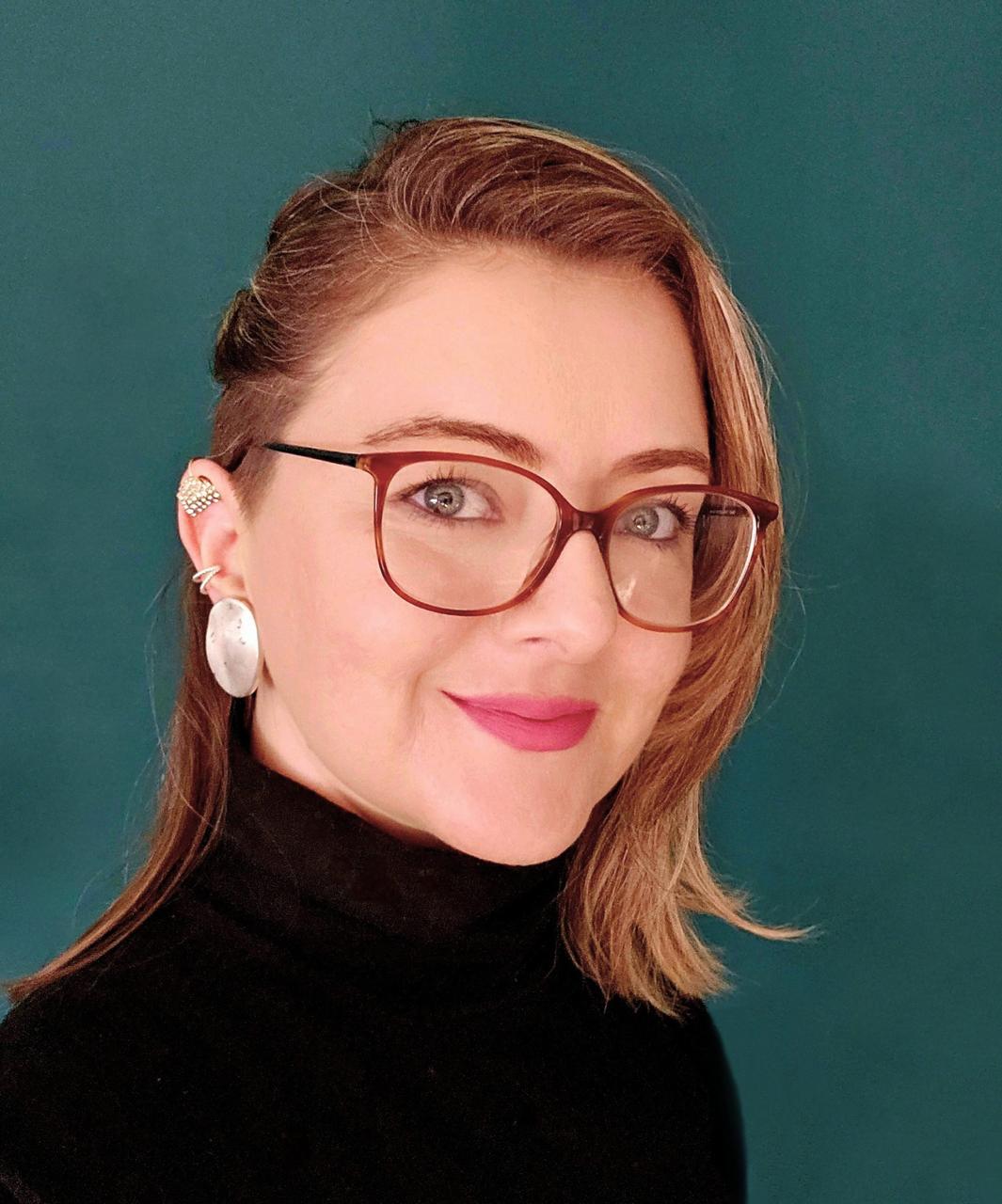
Dr. Gamze Dane
Eindhoven University of Technology
KEYNOTE PRESENTATION
In today’s increasingly digitized cities, data and technology are often seen as tools for improving efficiency but to build more inclusive urban environments, we need to go beyond efficiency and ask: how can data and technology actively support participation and co-creation? One powerful way is by enabling urban stakeholders and citizens to experience, discuss, and understand the impacts of different urban planning and design choices. This process serves two key purposes: (i) enhancing planning practices through better communication and participation, and (ii) supporting informed, transparent decision-making.
In this keynote, Dr. Gamze Dane explores how data-driven methods and emerging digital technologies such as AI, eXtended Reality (XR), digital twins, and serious games can support inclusive and participatory urban (re)development. She will share real-world examples where these tools were created and used both to facilitate co-design processes and to gather behavioral data from users engaging with future urban scenarios. These insights are then used to simulate how people might respond to proposed urban interventions, paving the way toward more inclusive and livable cities.

Dr. Milad Malekzadeh
University of Helsinki
KEYNOTE PRESENTATION
This presentation highlights ongoing work that brings together human-centered environmental perception and artificial intelligence to support smart urban planning. Within the GreenTravel project, we use virtual reality (VR) and biosensors to explore how individuals perceive and emotionally respond to their travel environments, providing fine-grained insights into the sensory and physiological dimensions of urban mobility. We also examine whether off-the-shelf AI models can approximate human perceptions using urban imagery and spatial data, evaluating the extent to which automated systems can replicate or complement human evaluations of the urban environment. The presentation will conclude with an introduction to the OpenGPS project, where we are developing a platform for storing, analyzing, and sharing mobility data. OpenGPS aims to democratize access to mobility datasets and spatial tools, enabling researchers, planners, and citizens to collaboratively analyze travel environments and support more transparent, reproducible urban planning processes.
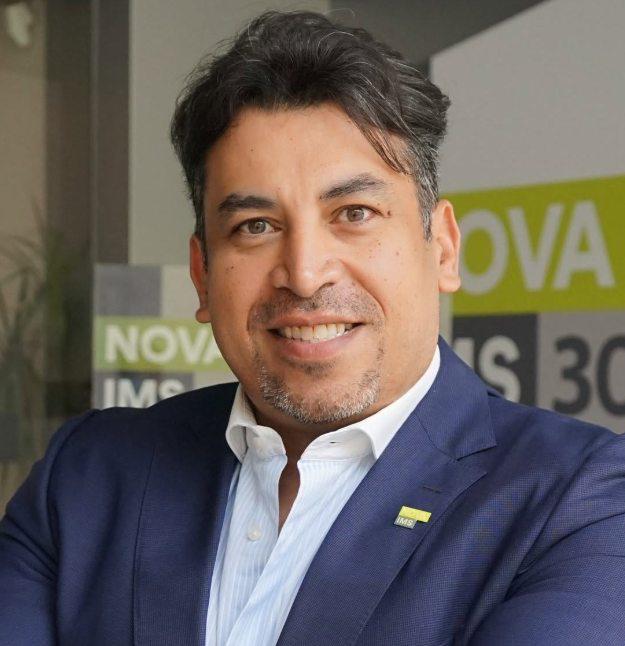
Dr. Yasser Alhelaly
NOVA IMS
KEYNOTE PRESENTATION
In today’s smart cities, geospatial technologies, such as digital maps, navigation systems, and location-based services, have become essential to how we move, build, and make decisions. They guide everything from urban planning and public transportation to logistics, emergency response, and personal mobility. However, this increasing dependence on geospatial systems also brings hidden risks. As cities evolve into highly interconnected digital ecosystems, these once-passive tools now operate as active components of critical infrastructure, making them attractive targets for cyberattacks and vulnerable to manipulation in ways many stakeholders still underestimate.
Dr. Alhelaly opens the keynote by shedding light on how easily digital maps can be manipulated and weaponized in the context of smart cities. He illustrates this through five compelling real-world cases: from scammers altering Google Maps listings to reroute victims to fake bank contacts, to attackers embedding malicious links into navigation directions, and threat actors tracking users through exposed API data. The keynote also revisits a Berlin artist’s experiment that faked a traffic jam using 99 smartphones, and a case where a business was sabotaged by being falsely labeled as “permanently closed.” These cases expose the critical, and often underestimated, vulnerabilities in the geospatial layer of modern urban life. These examples reveal a hidden truth: maps can be manipulated, and smart cities are vulnerable.
Dr. Alhelaly advocates for encrypted GIS architectures, Zero Trust design, and a human-centered approach to geospatial security. His keynote bridges geospatial intelligence, cybersecurity, and privacy frameworks to offer actionable strategies for securing urban trust in a data-driven world.
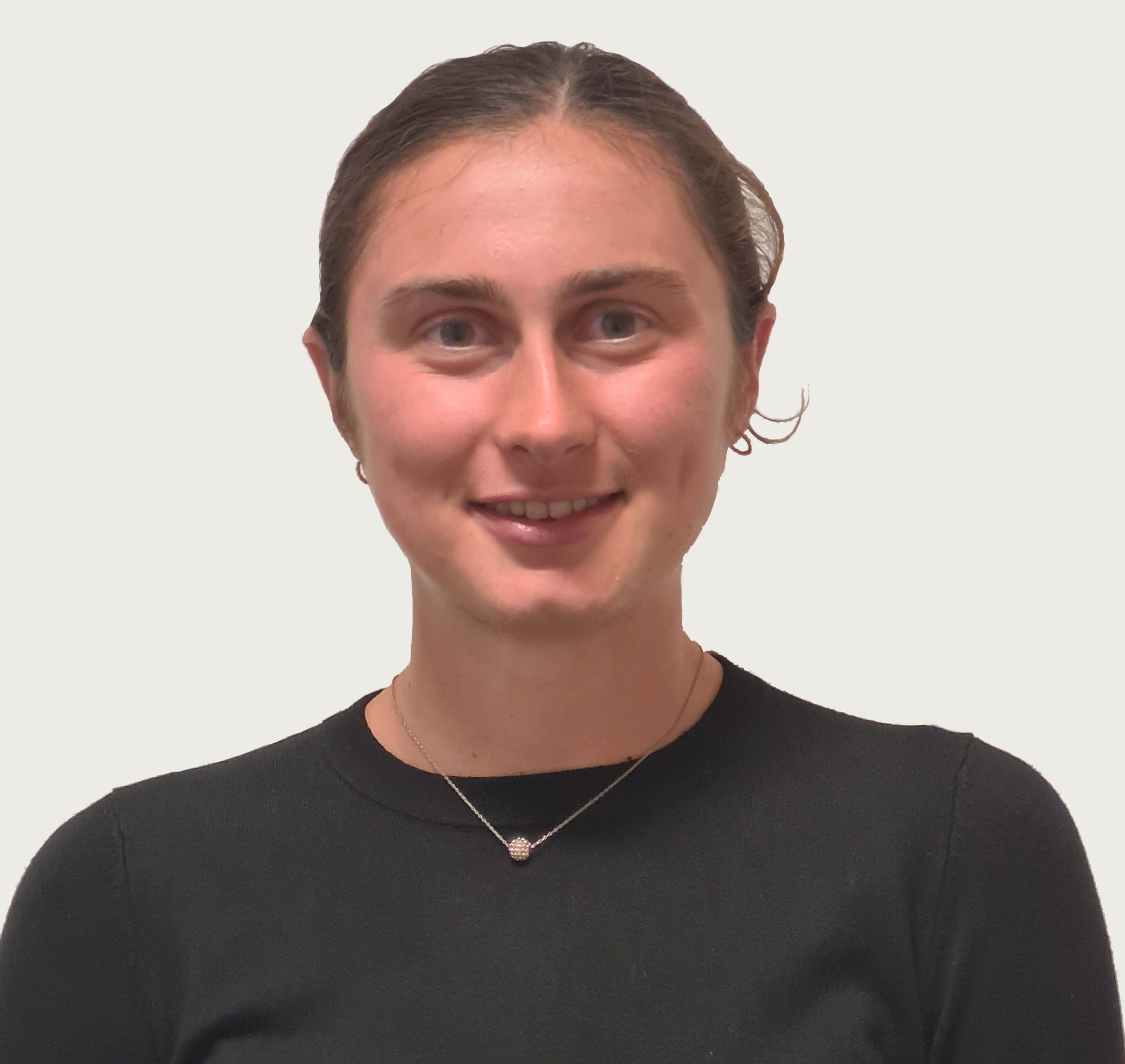
Emily Thompson
Podaris
KEYNOTE PRESENTATION
To build truly smart cities, we must first build accessible ones. This keynote explores how geospatial technologies can identify disparities in access and help cities plan smarter, more inclusive transport networks. Using rapid accessibility analysis, multimodal scenario planning, and public engagement tools, platforms like Podaris are transforming how planners co-create transport systems that serve everyone. Learn how collaborative transport planning tools are enabling data-driven, people-centred decisions in cities worldwide.
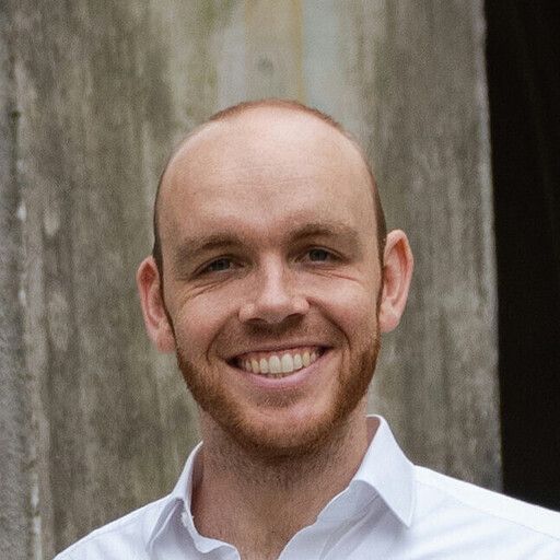
Dr. Lukas Liesenhoff
OroraTech
KEYNOTE PRESENTATION
Fueled by climate change, the number of extreme wildfires per year has doubled in the last 20 years. Fires grow out of control quickly, so early detection is essential to prevent them from reaching urban environments. However, dense, continuous monitoring of large areas around our cities across the globe is hardly feasible. Satellite imagery can help close this gap, but many of the relevant public satellites have significant spatial and temporal coverage gaps. Private satellite missions, such as OroraTech’s upcoming Forest constellation, can close this gap. With 10 satellites in orbit, the constellation already has a revisit time of 12 hours anywhere on Earth. With upcoming launches in the following years, the constellation will reach an eventual revisit time of 30 minutes across the globe. With dense temporal and spatial coverage, and a latency down to minutes, fires can be detected much earlier. This protects urban environments effectively from the hazardous effects of fire and smoke across the globe.
Beyond Fire, the Forest-Constellation also tracks Land and Sea Surface Temperatures at 200m resolution. The spatial coverage of our sensors allows us to scan half of the Iberian peninsula in one image. This allows urban policy makers to automatically compare urban heat effects or irrigation needs across wide areas.
Workshops Leaders
Mr. Andrés Felipe Ramirez
Deutsche Gesellschaft für Internationale Zusammenarbeit
Workshop
This workshop aims to stress the key role of geospatial technologies and geodata in improving urban resilience to climate change and disasters, offering an overview into the latest advancements in remote sensing, satellite imagery, drone data, and real-time monitoring systems, and their applications in climate adaptation, risk assessment, and disaster response. Emphasis will be placed on data availability, open platforms, and the integration of different data sources for planning evidence-based efforts. Through real-world applications and global success stories, participants will discover how spatial is being leveraged for different contexts (heat risk analysis, early warning systems, and post-disaster assessments), while also addressing challenges related to data access, quality, and usability.
Mr. Nicolas Luna
Universitat Jaume I, Spain
Workshop
This workshop explores two practical approaches to building digital twins using both proprietary and open-source technologies. In the first part, I will showcase the creation of a digital twin of the Universitat Jaume I campus using ArcGIS Indoors and Blender, covering indoor mapping, BIM integration, and 3D modeling workflows. In the second part, I am going to shift to an open-source pipeline using PostGIS, GeoServer, and Cesium to extrude and visualize building footprints as interactive 3D objects on the web. Participants will gain insight into the tools, data structures, and publishing strategies behind each approach—highlighting their advantages, limitations, and interoperability. Whether you are working in urban planning, facility management, or geospatial visualization, this workshop provides a hands-on comparison to help you choose the right stack for your own digital twin projects.

Ms. Candela Sol Pelliza
NOVA Cidade Urban Anlytics Lab, NOVA IMS
Workshop
This workshop delves into the role of participatory mapping in shaping smarter, inclusive and equitable cities. Participants will explore how community-driven data collection and mapping initiatives can empower residents, inform policy, and improve territorial planning outcomes.
The session will cover the fundamentals of participatory mapping, including key challenges, best practices and successful application cases. Participants will also be introduced to technologies that can support participatory mapping workflows. A simple case study or live demo will be included to
demonstrate how participatory mapping can be implemented in real-world urban contexts.
By the end of the session, attendees will have a clearer understanding of how
to leverage participatory mapping for collaborative and data-informed city
development.
Solenn Reeves Long
NOVA IMS
Workshop
This workshop explores how participatory mapping can bring together Erasmus Mundus students and the Lisbon community to address urban challenges, such as sustainability and inclusivity. Participants will take part in a hands-on session on “Mapping Smart and Inclusive Lisbon,” guided by Erasmus students acting as mentors and facilitators. A special community category in the Smart Lisbon Cartographic Challenge will invite locals to submit maps reflecting their own perspectives. Outcomes include at least 20 community-created maps, showcased at the GeoMundus conference and compiled into an open-access digital portfolio to ensure lasting visibility and impact.
