You are viewing an archived conference from 2024.View the current conference

GeoMundus 2024Environmental challenges seen through the GIS lens.
International Participants
Bringing together researchers, students, and professionals from around the world.
Knowledge Exchange
Featuring keynote speeches, workshops, and poster presentations on cutting-edge research.
Student-Organized
Entirely organized by students of the Erasmus Mundus Master's program in Geospatial Technologies.
Host Institution
Institut für Geoinformatik

Conference Themes
Keynote Speakers

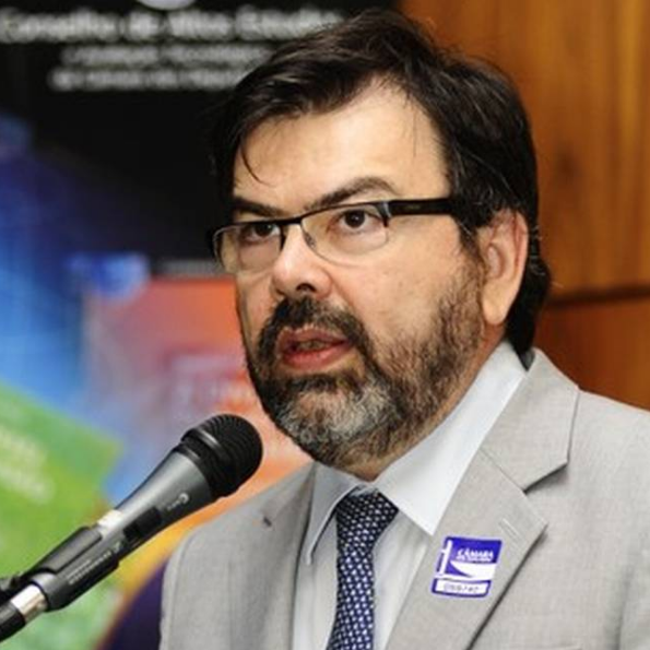
Prof. Dr. Gilberto Câmara
Brazil's National Institute for Space Research (INPE)
Open Source Geospatial Software: The first 40 years and beyond

Pablo Viejo
Bettermaps
The Future of AI-GIS: Challenges and Opportunities

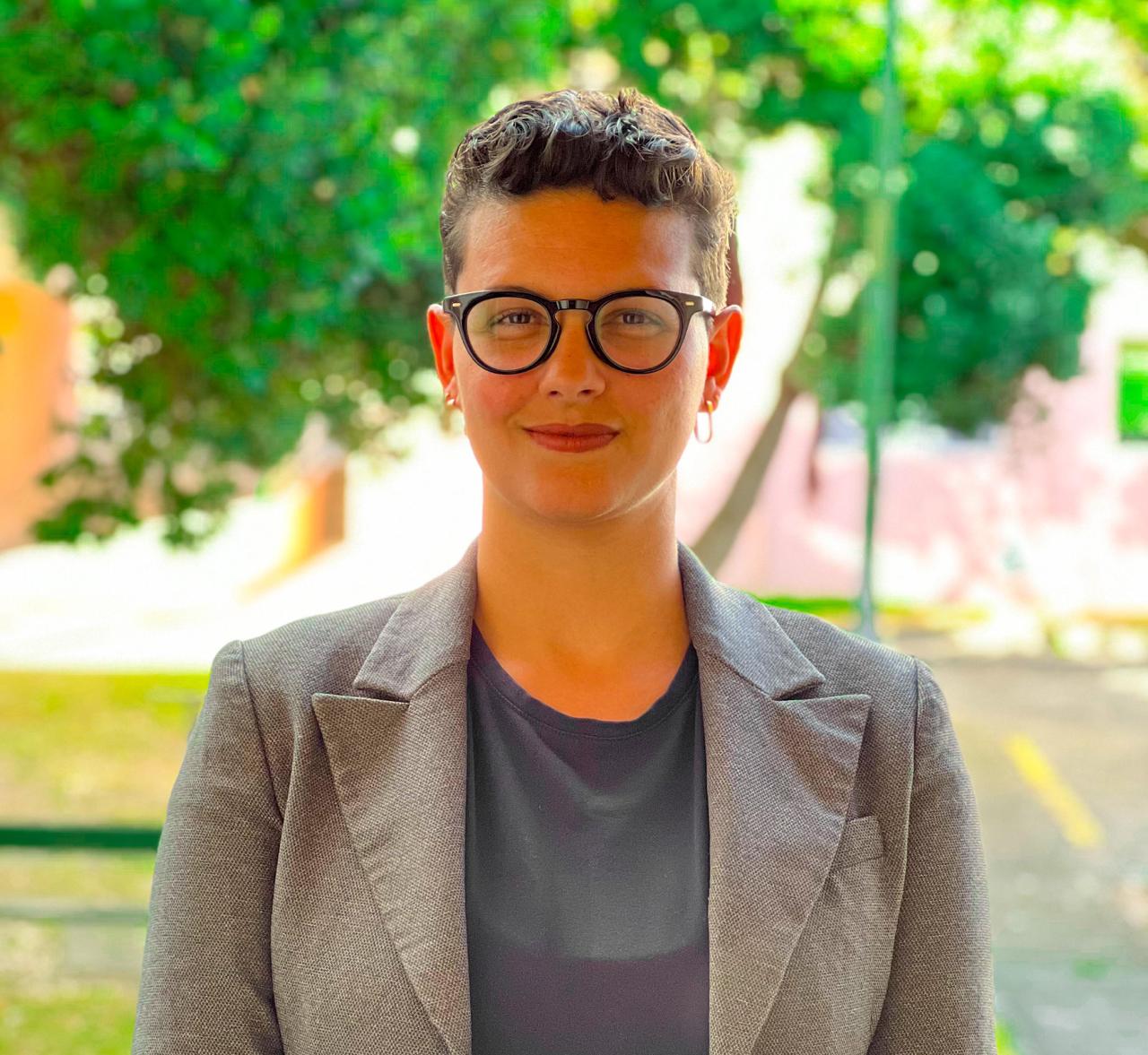
Rafaela Tiengo
Universidade dos Açores
Monitoring Conservation Projects: Integrating Google Earth Engine, Google Colab and Python

Andres Felipe Ramirez
German Agency for International Cooperation (GIZ)
Geospatial Technologies in the context of International Organizations, NGOs, and Development Cooperation
Conference Highlights
This conference shared and celebrates the work of researchers, students, policymakers and professionals within the scope of Geoinformatics and GI Applications. We’re setting the stage for enriching discussions on the newest technologies and methodologies that address environmental challenges with the use of geospatial information. This will promote multi-disciplinary insights from participants on topics that cover Geospatial Technologies and various aspects of sustainable development such as (but not limited to):
- Disaster management
- Environmental resilience
- Spatiotemporal modeling of climate conditions
- Data visualization and decision-making
- Water management
- Physical Geography
- Remote sensing techniques
- Sustainable land use
- Geospatial Analysis