What is Geomundus?
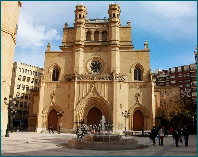
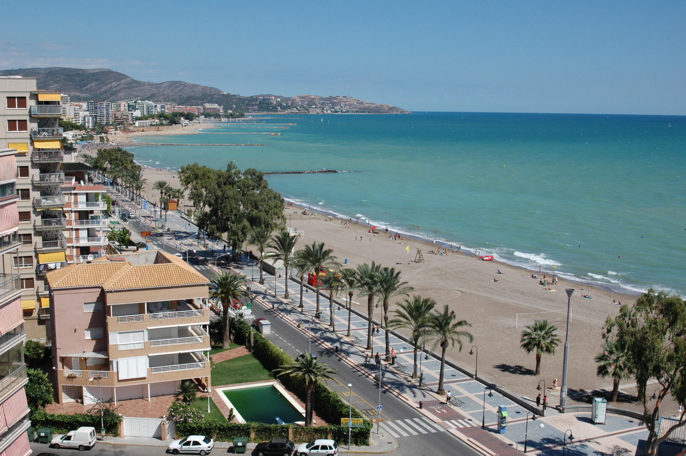
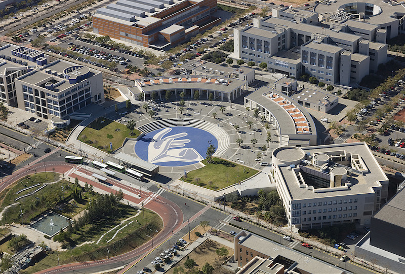
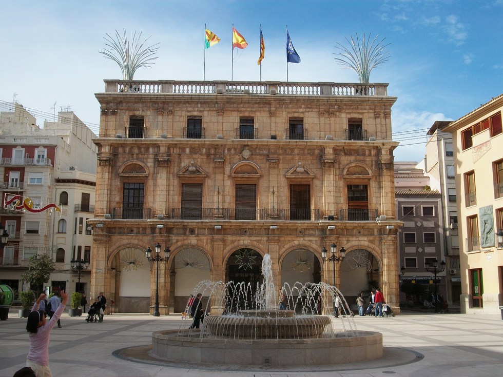
Geomundus is an international symposium on Geography, Earth and Environmental Studies, held by the students from the consortium of Erasmus Mundus (EM) International Master's program in Geospatial Technologies and the GEO-C Joint Doctorate in Geoinformatics: Enabling Open Cities, funded in the Marie Curie International Training Networks (ITN) program. It is a free conference organized by students, for students. This year (2016) the conference will be held in Castellón, Spain, from 4th to 5th of November.
Why Geomundus?
It stands as an opportunity to learn, to share scientific research and knowledge, and to meet other peers whose work and study in the immense world of “Geo”. It comprehends (but is not limited to) the Geographic Information Science, from Data Analysis and Management to the new emerging topics - Data Modelling, GeoApps, Augmented Reality, Big Data, Sensors, Open Data and Software, Machine Learning , and all the fields they can be applied to – Agriculture, Ecology, Climate Change, Disaster Management.
We aim to encourage the professional development of Erasmus Mundus, GEO-C as well as other students by providing an opportunity for them to share, present and discuss their own research but also learn from the work of other fellows and professionals. The symposium also creates a forum to meet students from all over the world, with a wide range of backgrounds.


 Tami Palmer
 Adeoluwa Akande
 Jana Lodi Martins
  Edorta Iraegui
 Apurva Kochar
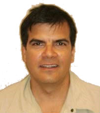 Jean Martin Caldieron
 Angela Afonso
 Abhasha Joshi
 Adrian Baba
 Abdal Qadir Mamode
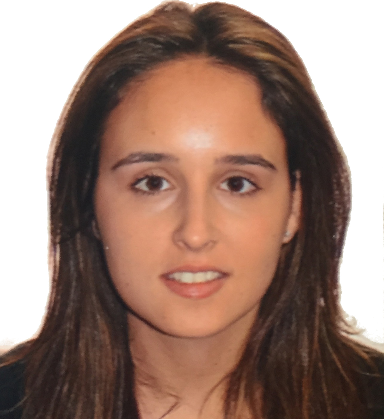 Gina Martinez
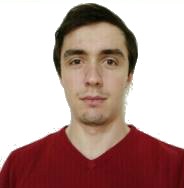
 David Pardo
 Kiana Kazemi
 Julia Desiree Velastegui
 Laura Giuffrida
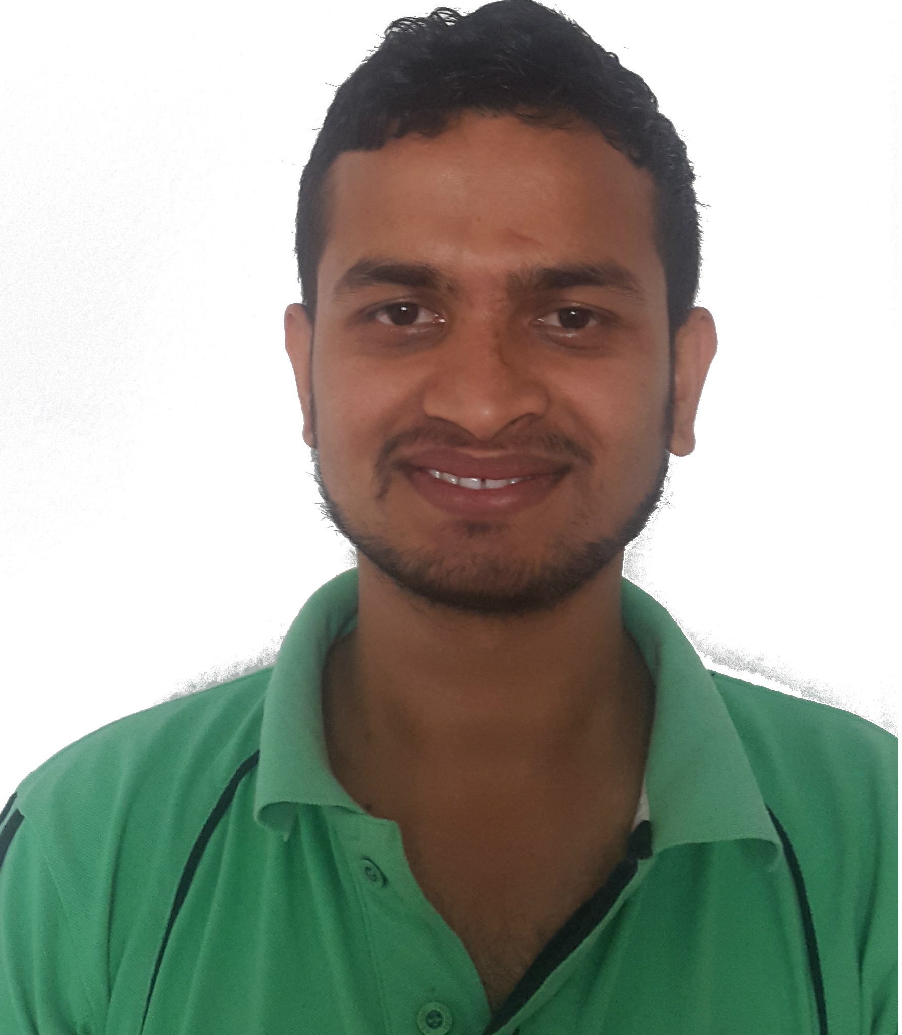
 Sushil Thapa
 Birhane Guesh
 Fernando Benítez
 Khoi Manh Ngo
 Diego Pajarito
 Manuel Portela
 Albert Acedo